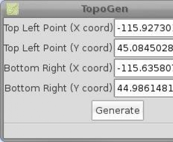
TopoGen is a small PyGTK application that makes a topographic image overlay for Google Earth using the given coordinate boundaries. The application is very easy to use. All you need to do is fill in the required coordinates and press the Generate button.
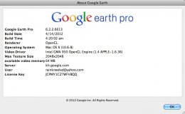
Google Earth Pro gives advanced business tools in addition to all the easy-to-use features and imagery of Google Earth.
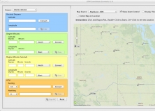
UTM Coordinate Converter converts between various geographic coordinate systems.


Comments