TopoGen 0.2

Free Makes a topographic image overlay for Google Earth.
2.3 
Rating
Your vote:
Latest version:
0.2 See all
Developer:
Download
Free   30.3 KB
Open source
Info updated on:

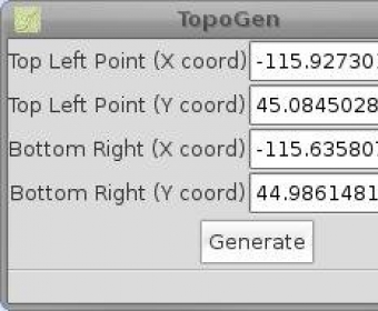
TopoGen is a small PyGTK application that makes a topographic image overlay for Google Earth using the given coordinate boundaries. The application is very easy to use. All you need to do is fill in the required coordinates and press the Generate button.

Share your experience:
Write a review about this app

Screenshot (1)

Comments

2.3
Rating
4 votes
5 stars
0
4 stars
0
3 stars
1
2 stars
3
1 stars
0
User

Your vote: