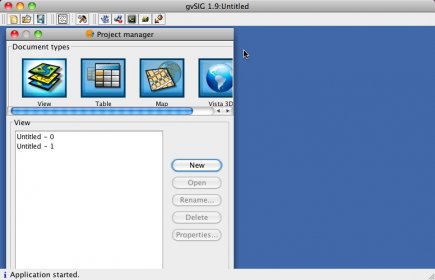
gvSIG is a GIS and SDI client that provides a user-friendly interface to access and manage local and remote raster and vector data.
Comments