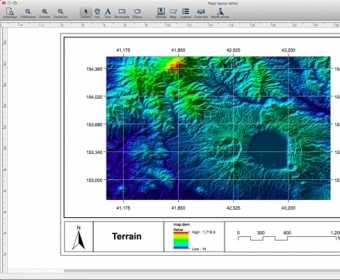
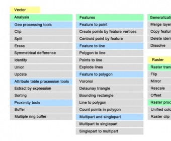
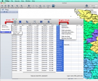
TYMap is a Geographic Information System (GIS) software that can be used to view shape files and USGS DEM files, modify the attribute table, and perform other tasks. It allows users to add and edit points, lines, and polygons, and it has different render types such as simple, class break, and categories. Additionally, it offers symbol layer types for point layers, including simple markers and character markers, as well as fill types for polygon layers, including simple, gradient, hatch, and picture. TYMap also allows users to add other data to the attribute table.

Comments