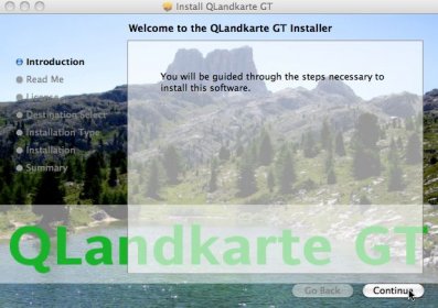
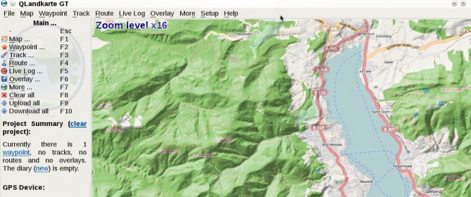
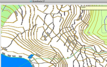
QLandkarte GT is the ultimate outdoor aficionado's tool. It supports GPS maps in GeoTiff format as well as Garmin's img vector map format. Additional it is the PC side front end to QLandkarte M, a moving map application for mobile devices. And it fills the gap Garmin leaves in refusing to support Linux. QLandkarte GT is the proof that writing portable applications for Unix, Windows and OSX is feasible with a minimum of overhead. No excuses! QLandkarte GT does replace the original QLandkarte with a much more flexible architecture. It's not limited to a map format or device. Thus if you think your Magellan GPS or other should be supported, join the team. QLandkarte GT might not let you select every possible feature of the GDAL tools, but it will simplify their use to the demands of most users.


Comments