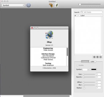
iMap is a data visualization tool designed to map large amounts of latitude/longitude data (or US ZIPcodes). It imports data from databases or spreadsheets and maps it onto image or vector maps. This program offers a plugin format enabling anyone to extend its functionality. Maps can be exported as PDF files for cross-platform viewing.
Comments