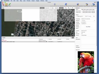
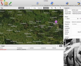
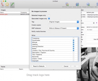
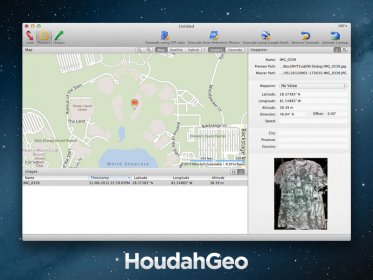
HoudahGeo is a one-stop photo geocoding and geotagging solution for OS X. HoudahGeo writes EXIF, XMP and IPTC geotags to JPEG, RAW, and XMP sidecar files. Just like a GPS-enabled camera, HoudahGeo records latitude, longitude, and altitude information right to your image data file. Don't have a GPS device? No problem! Just drop a pin on the map where you took your photo and HoudahGeo will tag it with the correct location.
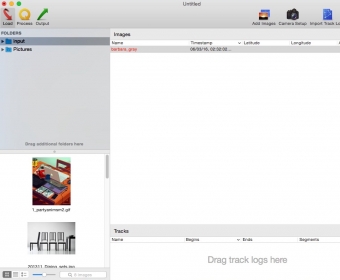
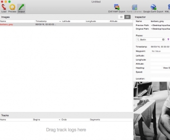
Geotagging with HoudahGeo follows an easy 3-step workflow: load, process, then output. Start by loading photos into a HoudahGeo project. Optionally add GPS track logs Use the built-in map to assign or adjust photo locations. Use reverse geocoding to add city, state / province and country names Write location information to the original image files. Export the project for viewing in Google Earth or Google My Maps. Upload to Flickr Feature Highlights Automatic geocoding using GPS track logs Geocoding using reference photos taken using iPhone or a GPS camera Geocoding without a GPS. Use the built-in map to double-check, adjust, or assign locations to your photos Reverse geocoding fills in city, state / province and country names Write GPS data, location names, title, description and keywords to EXIF, XMP and IPTC tags Works with JPEG as well as a large number of RAW file formats. It also supports XMP sidecar files. Integrates with Apple Photos, iPhoto, Aperture, and Adobe Lightroom Notify iPhoto or Aperture when places information has been updated Create Google Earth KML and KMZ files. View photos "pinned" along the path travelled Publish photos and KML files to Dropbox. Share images on a map Upload geotagged photos to Flickr


Comments