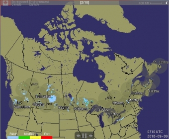
ECSatellite is a widget that displays an animation of the latest satellite images of North and South America, including the North Atlantic and Pacific oceans. Separately, all radar coverage for Canada can also be viewed as an animation, including multi-province zones such as the Pacific or Maritimes. 6-hour models for the upper atmosphere air circulation are also made available.
The users can choose how fast the images rotate, how many images an animation includes and which area will be displayed. The size of the displayed image is also adjustable.
Comments