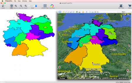
TYEarthPro is an application that lets you read ESRI Shapefile or spatial data from the data sheet editor. In addition, the program helps you generate KML/KMZ files which illustrate the map locations, display images, run flyover tours, and more. All data are conveniently organized in a table view.
Comments