Earth3D is a program that visualizes the earth in a realtime 3D view. It uses data fromNASA, USGS, the CIA and the city ofOsnabrück. I would like to thank these organisations to allow me to use their data! The program is available as binary for Linux, MacOS X and Windows under the GPL license. The program's features are
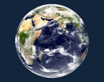
viewing the earth as a whole
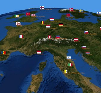
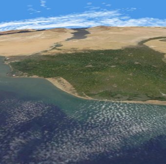
zooming in until countries, cities and even single houses become visible (if I had such maps, so this is currently limited to the city of Osnabrück, Germany)
embedding external data like current earthquake positions or cloud data.
Comments