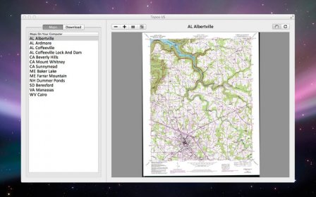
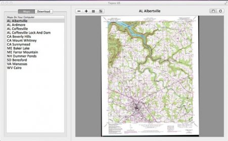
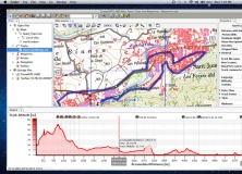
Topos US is an app that provides access to download and view high resolution USGS topographic maps for the United States.
REGARDING MAP DATES:
You will often see a date on a downloaded map that seems pretty old. This is the date of last physical survey. This could be a long time ago. Often maps will be compared to aerial photography to verify buildings but not always. I can't do anything about this and besides, mountains don't move that quick.
See the "Currentness Year and Version Year" section here: http://egsc.usgs.gov/maplists/howtoselectmaps.html
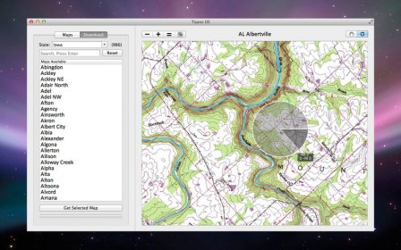
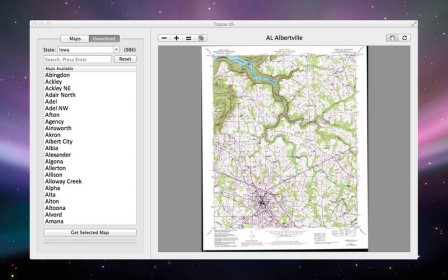
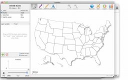
This app includes 49 states, with most states having over 99% of the maps for the state.
Please note the following:
Alaska is not included.
Most of North Dakota and Florida are missing.
Access over 50,000 USGS Topo Maps, zoom, pan, rotate, etc.
Please contact us at support@pignology.net so we can resolve any issues quickly.
Have a feature request? Send those over to support@pignology too. I'm always happy to fix problems and make apps better.
Review Responses:
FishMike: Pinch to zoom in/out is in the app. Can you get in touch with me so we can figure out why it's not working for you?


Comments