Designed and tested on real dirt by outdoor enthusiasts, Topo Maps+ is packed with good planning tools, trustworthy maps, on-trail tools, and tips to enhance YOUR navigational mindset. Topo Maps+ for Mac has the complete feature set to plan your trip and keep you safe in the backcountry.
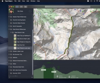
Take advantage of the larger screen for planning your backpacking trips then sync your trip details over to your iOS device and head out into the backcountry!
‣‣ PLANNING TOOLS
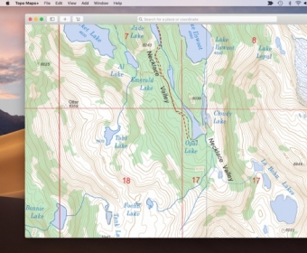
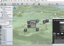
‣ Compare maps
‣ Combine overlays to customize your map view
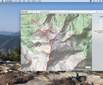
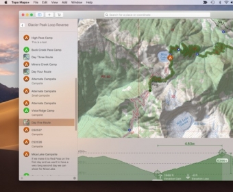
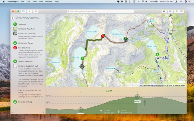
‣ Smart route-building tools
‣ Unlimited waypoints
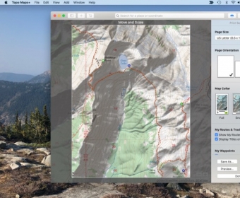
‣ Print, email or share custom maps and routes
‣‣ TRUSTWORTHY MAPS
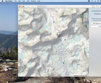
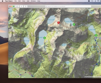
From the Gold Standard of traditional USGS, the backcountry features of the US Forest Service, Satellite Imagery, Land Use, Land Cover, the incredible Natural Atlas, NOAA Marine Maps, Canada’s NRCAN/GEOBC, New Zealand Topo Maps from LINZ.
To amazing worldwide maps from ESRI’s ArcGIS including Topo, Street, and Satellite!
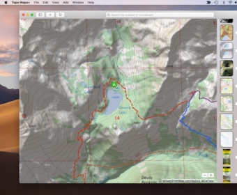
Enhance your maps with custom overlays like:
‣ Worldwide Elevation Heat map - custom color the map based on elevations
‣ US Slope Map - custom shade the map with colors based on slope degrees
‣ Hill Shading
With the iOS companion app you can also have:
‣‣ ON-TRAIL TOOLS (Offline)
‣ View your current location
‣ Record your tracks
‣ Proximity Alerts (notify me when I’m close to a waypoint, trail, or region)
‣ Line of Sight
‣ Progress on Trail
‣ Guide Me to a waypoint
‣ Downloaded elevation data for route-creation on the trail
‣ Photo Waypoints (snap a pic and instantly shows on the map)
‣‣ NAVIGATIONAL MINDSET - helpful tips and tricks for keeping you safe in the backcountry!
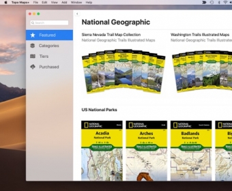
Topo Maps+ is fully functional at its free level allowing you to sync all your waypoints and routes to your iOS devices, plus you can print maps. For high resolution maps there are both subscription access to premium maps & features as well as the ability to purchase individual maps from National Geographic, Benchmark, and Canada’s Backroad Mapbooks. Purchases (subscription and individual maps) can be used across all your Apple devices. No hidden or extra fees.
CLOUD
Sync your routes, trips, subscriptions, and waypoints between all of your iOS devices.
SUBSCRIPTION LEVELS
Free: Sync Data, Trace Routes, Elevation Profiles, Waypoints, Print Maps, Export Data, Import Data, Share Data
Annual or Quarterly Pro Subscription: Access to high resolutions maps, premium maps, and advanced features.
SUBSCRIPTION PAYMENT INFORMATION
Topo Maps+ subscriptions will be charged to your Apple ID account at the confirmation of purchase. Subscription automatically renews unless it is canceled at least 24 hours before the end of the current period. Your account will be charged for renewal within 24 hours prior to the end of the current period. Any unused portion of a free trial period, if offered, will be forfeited when the you purchase a subscription. You can manage and cancel your subscriptions by going to your account settings on the App Store after purchase.
Privacy Policy: https://glacierpeak.app/privacy.html
Terms of Service: https://glacierpeak.app/tos.html


Comments