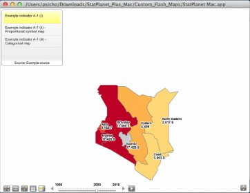
This application allows you to create fully customizable interactive maps. StatPlanet can be used to visualize location-based statistical data, such as life expectancy by country or demographic statistics and voting patterns by US state. In addition to maps, StatPlanet also has the option of including interactive graphs and charts to create feature-rich interactive infographics.

EarthDesk replaces your static desktop picture with a rendered image of Earth showing correct sun, moon, and city illumination.


Comments