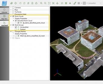
Pix4Dmapper is a desktop software program designed for professional drone-based mapping. It automatically converts images taken by hand, by drone, or by plane and produces highly accurate, georeferenced 2D maps and 3D models. It also allows users to easily manage multiple volume measurements, edit, and sharpen mesh surfaces, and more.
Comments