MyPhotoMap is a Mac utility able to generate maps for trips that provides users with the option to geotag their photos. This way, you can easily create a map album from your trips and holidays.
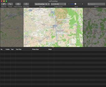
Once you've completed the installation process and you enter the application, you discover a standard user interface, comprised of a toolbar menu, a search function, and a map display area. There are no options for customizing the background theme, nor for text formatting. The buttons work well and the responsiveness to users' actions is pleasing.
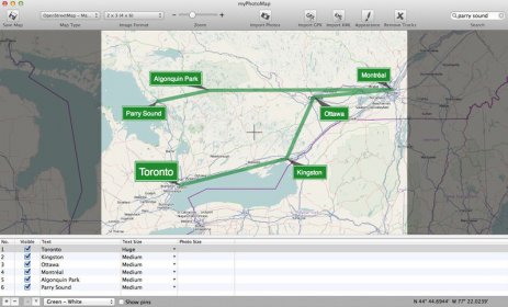
As per its functionalities, MyPhotoMap is capable of exporting files and albums to high-resolution JPG files. Moreover, individuals can use satellite images provided by NASA's Blue Marble by simply zooming on a specific location.
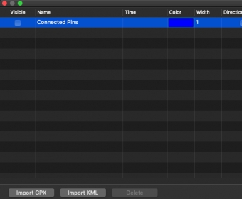
Also, you can add pins to highlight the places you've visited or import the route via GPX or KML files. Last but not least, you can edit photos and resize images to better fit the screen.
In conclusion, MyPhotoMap is a decent tool for mapping trips and adding photos to the places you've visited. It's pretty straightforward to use and free. Do try it.
Comments