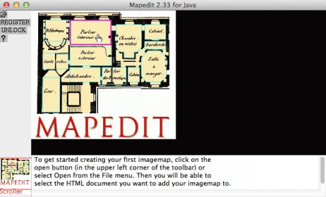
A graphical editor for World Wide Web image maps (clickable imagemaps).
Mapedit allows you to load your image into a scrollable, resizable window and then draw polygons, circles and rectangles on top of it, specifying a URL for each. It also allows you to go back and delete these "hotspots," set a default URL for clicks outside of the "hot" areas, and so on.
In addition, it allows you to associate alternative text, frame targets, and even Javascript attributes with each object.
Comments