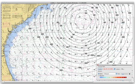
Plan and control a trip across a body of water with boats using sails and motors. Check the GPS data for the area and view detailed statistics on the wind direction, strength, and prognosis for changes. Monitor your own position in real time and plan navigation.
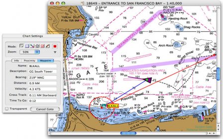
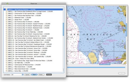
GPSNavX is the solution for the boater that wants to take the Mac aboard for real-time display of position on full color marine Softcharts and BSB raster charts.
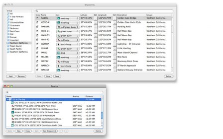
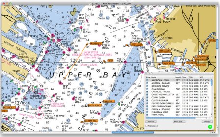
Just plug your GPS into your Mac and watch as your boat moves along in real-time, plotting a track behind the boat and logging your historic position on a digital chart. GPSNavX is loaded with many features. GPSNavX is also right at home for planning trips and charting out new destinations. A GPS is not required to work with charts.
Comments