GeoMapApp 2.4

Free GeoMapApp is an earth science exploration and visualization application
Rating
Your vote:
Latest version:
3.0 See all
Download
Free   6.9 MB
Freeware
Used by 17 people
Info updated on:

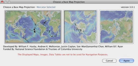
GeoMapApp is an earth science exploration and visualization application that is continually being expanded as part of the Marine Geoscience Data System (MGDS) at the Lamont-Doherty Earth Observatory of Columbia University. The application provides direct access to the Global Multi-Resolution Topography (GMRT) compilation that hosts high resolution (~100 m node spacing) bathymetry from multibeam data for ocean areas and ASTER (Advanced Spaceborne Thermal Emission and Reflection Radiometer) and NED (National Elevation Dataset) topography datasets for the global land masses.

Screenshot (1)

Comments

User

Your vote:

Related apps

Google Earth Pro
Google Earth Pro
Free
rating

Google Earth Pro gives advanced business tools in addition to all the easy-to-use features and imagery of Google Earth.

Earth Browser
Earth Browser
rating

Earth simulator that combines imagery and real-time data.

CompeGPS Land
CompeGPS Land
rating

World Book Day special promotion: 35% discount from today to April 23th.

Drgeo
Drgeo
Free
rating

Interactive geometry software for GNU/Linux, XO laptop, Windows and Mac OS X.

LandRover InControl Touch Map Updater
LandRover InControl Touch
Free
rating

Advises you if a map update is available for your vehicle.

Tags