Create, edit, visualize, analyse and publish geospatial information.
This app allows you to create, open, edit and save spreadsheet files.
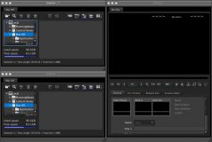
All-in-one clip management application.
ExifExtreme displays all EXIF and IPTC info for an image of almost any type (JPG, TIF, NEF, CR2, ORF, DNG, PSD, etc.).
Convert your files to nearly any spreadsheet and image file format.