Cartographica allows you to use your Mac to explore and refine data, create beautiful maps, export information for the web using Google Maps and Google Earth (via our KML Export capabilities).
Merge data from several sources. Get local data from your government in CSV Latitude and Longitude (or in your state plane, Cartographica has a deep understanding of Coordinate Reference Systems), add to that with satellite or topographical information using Web Map Services such as Terraserver or NASA's Blue Earth, bring in street information from US Census Bureau TIGER, and see them all together in one place.
Cartographica embraces key Macintosh technologies including the use of Drag & Drop, 64-bit data access, ODBC for database access, pervasive undo, scroll wheels, and much more to provide the best Macintosh experience when viewing, editing, and outputting your geospatial data.
- Flexible file import with a huge library of formats for raster, vector, and tabular data
- Rapid filtering of data
- Sophisticated map layout capabilities for printed and PDF maps
- Flexible styles to show your data in an easy-to-understand way
- Direct editing to add or modify data directly
- Prevasive undo support, so you can safely try any operation
- Transparent layers
- Synchronized data/map browsing
- Geocoding
- GPS Import
- Direct database access via ODBC
- Superb Google Maps and Google Earth export using our proprietary KML exporter
- Adobe Illustrator export
- Web Map Server support for retrieving geospatial data over the internet
- Intelligent projection management-tell Cartographica what CRS your data is in and it will do the rest
Google Earth Pro gives advanced business tools in addition to all the easy-to-use features and imagery of Google Earth.
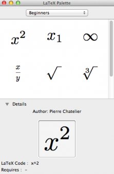
Small utility that allows you to quickly typeset LaTeX equations, without bothering with file creation, preambles, and so on.

Comments