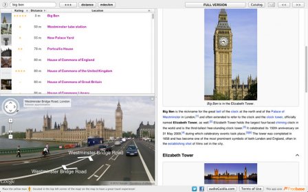
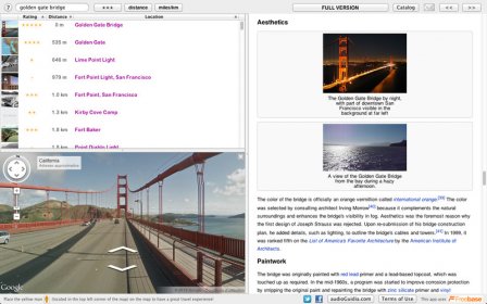
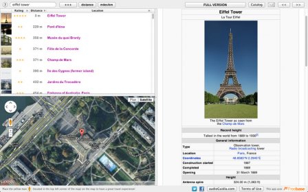
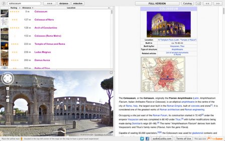
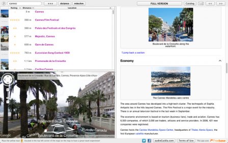
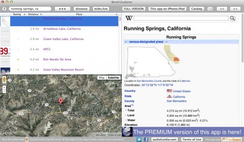
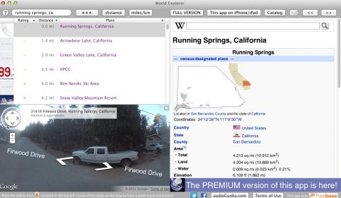
World Explorer lets you see the imagery of different cities. The application can detect your location or you can manually input one, and it will display points of interest near the location that is active, and you can access Wikipedia articles about those points of interest, all from the same window. A map of the location will also be displayed at the bottom of the screen. And when available, you can activate Google's Street View feature, which uses photos to let you "virtually" walk down streets. This feature is not available for most locations, but many of the US cities have it, and some cities in Europe do as well.
The map at the bottom of the screen behaves just like the map that you would find if you opened Google Maps on your web browser. You can zoom in and out, pan around and change the map type from terrain to satellite. Wikipedia articles are opened on the right-pane.
I used a city of the U.S.A. to test the app. World Explorer listed quite a few points of interest. I was amazed to see that I didn't know some of those places. When I clicked on them, the map was centered on that location and an article was shown.
There is also a "premium" version which comes with extra features like photos and more points of interest.


Comments (2)