uDig is an open source (LGPL) desktop application framework, built with Eclipse Rich Client (RCP) technology.
uDig can be used as a stand-alone application. uDig can be extended with RCP "plug-ins". uDig can be used as a plug-in in an existing RCP application.
The goal of uDig is to provide a complete Java solution for desktop GIS data access, editing, and viewing. uDig aims to be:
User friendly, providing a familiar graphical environment for GIS users;
Desktop located, running as a thick client, natively on Mac OS X (and Windows & Linux too!);
Internet oriented, consuming standard (WMS, WFS, WCS) and de facto (GeoRSS, KML, tiles) geospatial Web services; and;
GIS ready, providing the framework on which complex analytical capabilities can be built, and gradually subsuming those capabilities into the main application.
uDig is capable of opening, viewing, and editing shapefiles(shp, dbf, etc.), WFS (Web Feature Server) layers, as-well-as connecting to PostgreSQL / PostGIS, Oracle, and MySQL data sources containing both geometry and table data.
uDig is completely 'drag & drop' as it relates to it's sources, projects, and layers. Multiple map views, displaying multiple layers from multiple data sources are all possible within the uDig application.
Users may also connect/integrate uDig with GeoServer, as-well-as MapServer, providing a complete server/client solution.
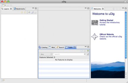
uDig GUI has movable Projects, Layers, and Catalog View panes, as well as multi-pane Map Views. jpg, png, gif, tif, bmp, and geotiff with coordiante files may also be loaded and displayed with uDig, atop or under other layers, such as editable Vector files like Shapefiles, or loaded and displayed vector files from raw data sources such as PostgreSQL / PostGIS, Oracle, and MySQL.
The uDig user community has created various editing tools in the form of 'plugins' that may be easily added to the uDig client, extending spatial operations, and providing editing access to Grass files, and more.
Use uDig for geospatial data management and analysis, image processing, graphics/maps production, spatial modeling, visualization, and more.
Use uDig along side Google Earth, as it's turbo-charged big-brother. Export KML files to SHP files, and view/edit them in uDig.
Comments