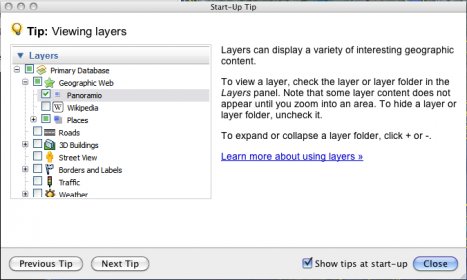
Google Earth is a virtual mapping and topography tool by Google. It is an exceptional piece of software that allows you to roam around the world and watch satellite imagery and maps for every country in the world. When you start it, you will see a virtual globe and it will automatically zoom in on your location. You can zoom in or out or even use the search field to look for specific locations. You can view both satellite images or maps or a mixed mode that puts streets and map markers on top of satellite imagery.
You can access all of these maps visiting Google Maps, but running Google Earth gives you a better and overall smoother experience. A native application gives you more power to zoom in and out at better speeds. Since Google Earth has caching capabilities, images are saved and load way faster after you have been somewhere before (all depending on your connection speed).
But Google Earth is much, much more than an application that lets you see maps. There are hundreds of advanced features all over the app. I can't possibly go over all of them here and I won't spoil it for you, but I will tell you a little about the most innovative ones and the ones I like the most.
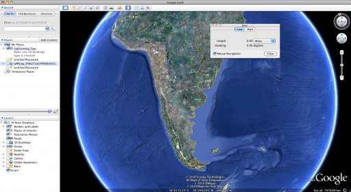
The first one that comes to mind is the ruler tool. Although it is not very advanced or innovative, it is a great tool to measure distances graphically. You can even create non-linear paths. With the release of Google Earth 5, you can now compare versions of the satellite imagery. By clicking the "clock icon", you will be able to go back in time and see what has changed. Some locations have more imagery than others. Where I am from, I only got to see 7 years back in time. But some places in the US go back to the 1940's, which is absolutely amazing. In some locations, like the U.S and Europe, you can access streetview, which shows pictures of the place you are targeting taken by a Google vehicle. Some "elite" locations also show 3D models of known buildings. New York comes to mind, where users send their designs of the buildings in the Manhattan area. It is extremely realistic and very entertaining.
All in all, Google Earth is a very advanced map tool. It is entertaining for the average user but I see lots of uses for it in the fields of geography and topography. It is fast and smooth and, in a nutshell, it is a must-have.
Google Earth Pro gives advanced business tools in addition to all the easy-to-use features and imagery of Google Earth.
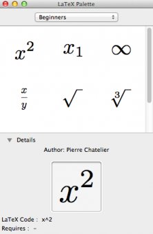
Small utility that allows you to quickly typeset LaTeX equations, without bothering with file creation, preambles, and so on.
This plug-in allows you to navigate and explore geographic data on a 3D globe.


Comments (10)