Earth Explorer integrates high-resolution satellite imagery and political boundaries, coastlines, rivers, 267 countries and regions, more than 40000 ranked cities, 15000 islands, and 1700 noteworthy historical earthquakes since 1980 into a fantastic 3D Earth globe. You can specify what kinds of map layers to be shown, rotate the globe, click right mouse button and pull or push to zoom in or out the current view and measure distance between any two points.
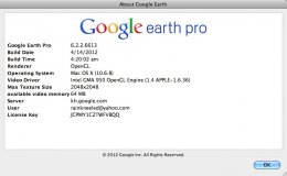
Google Earth Pro gives advanced business tools in addition to all the easy-to-use features and imagery of Google Earth.
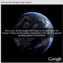
This plug-in allows you to navigate and explore geographic data on a 3D globe.


Comments